
Saugus Neighbors: Block Record Sources
The immediate block is best understood as several different record layers. AxisGIS and assessor maps locate parcels. The tax roll supplies an assessed owner and parcel details. Registry plans explain lot layout and recorded easements. A town list or directory may show a person at an address for a particular year, but it is not a continuous household roster. The table keeps each source in its proper role.
| Source | What It Shows About a Block | Access |
|---|---|---|
| Saugus AxisGIS | Parcel shapes, roads, labels, map context, and neighboring lots | Free town-linked viewer; live control labels were not captured in the research |
| Saugus assessor PDF map | Map grid, parcel area and dimensions, rights-of-way, common ownership, wetlands, and municipal parcels | Free downloadable assessment maps; not a legal description |
| MassGIS parcel layers | Statewide parcel geometry with municipal, ZIP, precinct, road, and other overlays | Free state data and map fallback |
| Southern Essex Registry plans | Subdivision lines, plan references, lot layout, and easement context | Index access; image or copy availability follows portal or office rules |
| Lists of Persons and voting-list rules | Historical or lawful precinct-list names and addresses, depending on year and access | Town Clerk, list request, library scans, or microfilm |
| Directories and house guides | Historical street entries and address changes | Library, State Library, and digital collections; coverage has gaps |
A neighboring polygon is not automatically a neighboring household. A block can include common ownership, water, a right-of-way, a municipal parcel, wetlands, or an unbuildable strip. Record the selected parcel ID, situs label, road frontage, map scale, visible overlay, map date, and URL or view state before drawing any conclusion.
Saugus Neighbors Are Not Households
Property information has a narrow purpose. Patriot Properties can search by owner, street name, street number, parcel, book, and page, then display the current assessed-owner field, situs address, parcel identifier, map grid, lot and building traits, values, and sales information. The owner’s mailing address may be in another town. A corporation, trust, estate, or representative may be the name on the roll. None of those fields makes an owner an occupant.
The assessor map adds context but carries its own disclaimer: it is for assessment purposes and is not a valid legal description or conveyance. The map may display right-of-way, common-ownership, wetlands, and municipal-parcel labels that explain why close street numbers do not share a usable boundary. For a legal line, the recorded plan or deed controls.
Note: Label every property-derived name as an assessed owner or recorded party, never as a present household member without independent, dated evidence.
Saugus Neighbor Voter Access Is Limited
Massachusetts separates the central voter registry, an individual status form, and voting lists. The individual form requires first name, last name, date of birth, residential ZIP, and an agreement checkbox. It is intended for an individual status check. Under M.G.L. c.51 §47C, central-registry names and addresses are not generally public. M.G.L. c.51 §55 has its own rules for precinct voting lists, including voter, residence, party enrollment, and active or inactive status.
For block-level historical work, request only the list type, precinct, year, and inspection or copy needed from the Town Clerk. Saugus has ten precincts. Its annual street listing is mailed to households in January, while the office says a List of Persons for people 17 and older is available on or before June 15 for $15 under the clerk’s rules. The 1997 List of Persons scan uses a street index with voter marker, precinct, name, and address fields, but it is a period record, not a current model.
Election results are another category. Candidate totals describe a contest, not all people who live on a street. A no-result in the individual form also does not prove a person is not a Saugus neighbor.
Saugus Neighbors and Community Context
Community resources can explain a block’s historic, civic, environmental, or business setting without creating a household directory. The official town organizations inventory lists many groups, but the research found no official association-by-street roster or public member directory. Treat each group as a public context and contact route, not evidence that its participants live near a selected parcel.
Saugus’s official community organizations inventory is the source for the public group list.
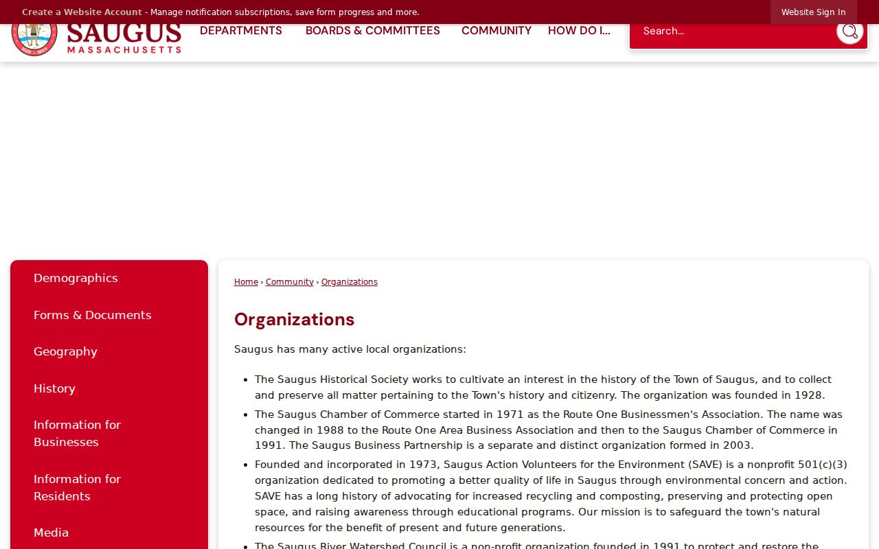
The inventory is useful for locating historical, civic, watershed, arts, veterans, service, alumni, scouting, and business context around a place. It does not convert a group’s officers, participants, or mailing list into a set of neighbors.
Saugus Historical Society
Founded in 1928, the Society preserves town history and the story of its citizenry. Use it for unlisted historical holdings and place context.
Saugus River Watershed Council
Use the official organizations listing for watershed and environmental context that may shape nearby land and water features.
Friends of Breakheart
This public community resource is relevant to nearby conservation and recreation context, not household identification.
Saugus Chamber and Business Partnership
Business-group records can explain a local commercial setting. A registered office or business address is not a home address.
Map Saugus Neighbors by Parcel
Use the map as an orientation tool and move outward one parcel at a time. AxisGIS is the practical first choice for a Saugus block. The research observed that it is the town-linked viewer, but did not confirm exact live layer labels, so only visible controls should be described when using it. MassGIS is the statewide fallback when AxisGIS is unavailable. The process below preserves the difference between map facts and people claims.
- Enter the exact Saugus street number and name in Patriot Properties or locate the address in AxisGIS. Preserve units, hyphens, and letter suffixes separately from a normalized search form.
- Select the parcel and record its situs label, parcel ID, map grid, road frontage, and map scale. Turn on only the parcel, road, municipal, ZIP, precinct, or other layers that the current viewer visibly offers.
- Read the touching polygons and note wetlands, water, right-of-way, common ownership, or municipal land before calling any lot adjacent. Use the assessor PDF map as a second visual check.
- Open the assessor card for a selected parcel only when an assessed-owner question exists. For a boundary, plan, or easement question, carry the parcel or book/page reference to Southern Essex and inspect the recorded plan or instrument.
The Saugus Street Directory follows a full named-street record chain. Keep that wider process separate from the short-radius parcel method used for immediate neighbors.
Saugus Neighbor Plans and Maps
Plans and historic maps help when a modern parcel is not the same shape as an earlier lot. Southern Essex recorded-land images reach back to 1640, though the described electronic recorded-land index begins in 1951. Older work may require image-index books, book and page research, or an in-person request. Registered land has a separate trail from 1899 forward. The index is a research lead; the written instrument and plan provide the recorded detail.
Saugus’s assessment maps show grid labels and can mark common ownership, wetlands, rights-of-way, and municipal parcels. A map polygon may be generalized or offset. If boundaries matter, ask the town for the relevant map or plan by parcel or street and ask the Registry for the recorded plan or instrument. Do not treat a screen view as a survey.
Historical block work has an added address problem. The 1932 annual report recorded four duplicate street names and non-sequential numbering. Match a period street spelling and suffix with neighborhood, precinct, cross street, map grid, and legal description. Saugus Centre, East Saugus, and Cliftondale are useful historical labels, but they are not interchangeable with a ZIP, precinct, or parcel grid.
Compare Saugus Official Neighbor Tools
Official and commercial categories serve different purposes. Official sources identify a custodian, date, record role, and access rule. Commercial neighbor tools may combine public and nonpublic-source claims, charge for access, and vary in update and correction practice. Neither category turns an owner, mailing addressee, or old directory entry into proof of present occupancy.
| Category | Useful For | Limit to Keep |
|---|---|---|
| Official parcel and Registry records | Parcel geometry, assessed owner, recorded instrument, and plan context | Owner or grantee is not necessarily an occupant; maps are not surveys |
| Official town, voter, and library routes | Dated list access, historical address research, and statutory request channels | Each product has a year, access rule, and coverage gap |
| Commercial neighbor-lookup category | A possible prompt to seek the real custodian record | May be inaccurate, incomplete, or stale; do not publish or act on an unverified claim |
The Massachusetts Corporations Division search illustrates a different official category: it accepts entity name, individual name, ID, or filing number, but a registered-office or officer address is a business filing address, not a resident address.
Use business records to verify an entity filing or local commercial context. Do not use them to infer that a person is a neighbor of a parcel.
Saugus Neighbors Privacy Lines
Some records must remain protected. Massachusetts Address Confidentiality Program participants use a substitute mailing address, and their actual location may be impounded or segregated in public civil proceedings under SJC Rule 1:20. Never attempt to reverse a substitute address through parcel, voter, directory, or map matching. Central voter-registry names and addresses, restricted vital material, and sealed or impounded court files also have their own limits.
Massachusetts Sex Offender Registry Board information explains a separate public program for level 2 and level 3 information and town or personal-information request paths.
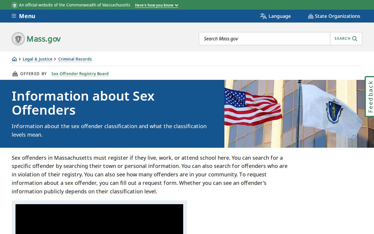
A classification-specific registry result is not a parcel map, a household roster, or proof of current residence. Check classification and update date through the program, and do not combine it with unrelated sources into a label about a person or block.
Lawful use. Use Saugus block records for personal, lawful research and community context. Do not use any result to stalk, harass, intimidate, expose a protected address, or harm another person.
Saugus Neighbor Record Requests
When an online layer cannot answer a narrow public question, ask for the record that actually holds the answer. A parcel or boundary request should identify the situs, parcel, map grid, plan, or book and page. A voting-list request should name the list type, precinct, year, and whether inspection or a copy is sought. A historical address request should state the period and source category, such as a town list, directory, map, or newspaper file.
Use the Saugus public-records request route for non-exempt town records. Massachusetts Public Records Law, M.G.L. c.66 §10, does not override confidential information or another exemption. For an uncertainty about a legal line, the practical final step is the town’s relevant map or a Registry plan review, not a guess from adjacent pixels.
Note: Keep the requested record, source year, parcel or precinct, and custodian together so a future reader can see exactly what the block evidence means.